Ecosystems
The two-year assessment covered UK terrestrial, freshwater and marine ecosystems contained within eight collections of "broad habitat" types:
 |
 |
 |
 |
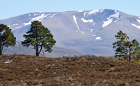
| Mountains, moors and heaths |
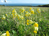
Semi-natural grasslands |
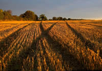
Enclosed farmland |
Woodland |
 |
 |
 |
 |
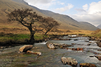
| Freshwater, wetlands and floodplains |
Urban |
Marine |
Coastal margins |
For example, Enclosed farmland consisted of arable, horticultural land and improved grassland and Woodland covered broadleaved, coniferous and mixed woodland. “Broad habitats” is an established habitat classification and reporting system and were used in the Countryside Survey of 2007, which has generated a wealth of information on the UK’s countryside.
This approach is also the basis for many conservation initiatives, such as the UK Biodiversity Action Plan, which identifies priority habitats within broad habitat types.
Ecosystem Services
The UK NEA classified ecosystem services into four types: Provisioning, Regulating, Cultural and Supporting.....read more